
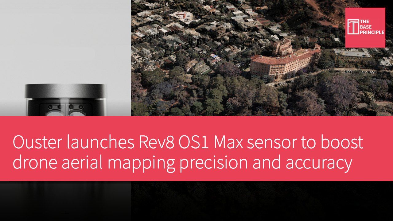
- Ouster's Rev8 OS1 Max delivers twice the precision and accuracy for drone-based mapping.
- The sensor produces low-noise point clouds that keep detail crisp at high survey altitudes.
- The Rev8 OS1 Max assigns RGB color values directly on the detector, requiring no separate calibration.
- The sensor meets supply-chain security standards and is built for extreme weather conditions.
Aerial mapping teams have long faced an awkward trade-off: fly low enough to resolve power lines and a single mission covers only a small stretch of corridor; fly high enough to cover ground efficiently and thin objects disappear into the noise. Ouster says its Rev8 OS1 Max native-color lidar sensor eliminates that compromise, delivering twice the precision and accuracy of its predecessor for drone-based mapping. The company has announced surging customer demand for the sensor, with payload integrators and drone manufacturers across the aerial mapping market selecting it for utility corridor inspection, infrastructure management and defense applications.
Technical features of the Rev8 OS1 Max
The Rev8 OS1 Max sensor is powered by Ouster's L4 Max chip, combining survey-grade 3D range data across 256 channels with native 48-bit color. The combination lets operators retain crisp detail even at high survey altitudes. The Rev8 OS1 Max produces low-noise point clouds with thin surface walls, achieving ±0.25 cm precision and ±1.25 cm accuracy, double that of the previous-generation Rev7. Every sensor is calibrated for range, reflectivity, temperature and beam angle before shipping, ensuring consistent results across each unit.
Tighter beam collimation reduces the sensor's spot size by up to 50%, keeping power lines, wires, branches and canopy gaps visible rather than blurring into surrounding surfaces.
The sensor offers a 200-meter range at 10% reflectivity, with that detail holding steady at the altitudes aerial mapping teams typically fly, roughly 80 to 120 meters. That range lets operators fly wider and cover more corridor in fewer flights. Unlike traditional systems that align a separate camera with the lidar data, the Rev8 OS1 Max assigns RGB color values directly on the detector. Because color and geometry are captured by the same sensor at the silicon level, there is no parallax between the two and no separate calibration step is required.
That design cuts the coloring work that usually sits between a flight and a finished deliverable.
Supply-chain security compliance
Ouster's Rev8 OS digital lidar sensors are designed and developed in the United States and meet supply-chain security standards under Section 16 of the Fiscal Year 2025 National Defense Authorization Act. The company also offers Build America, Buy America Act-compliant sensors for government, utility and enterprise operators with domestic procurement requirements. The sensor carries IP68 and IP69K ratings, withstands 100 G of shock, and operates from -40 to +85 degrees Celsius, handling the extremes faced by multirotor and fixed-wing drone platforms.
Stuart Landesberg, CEO of drone mapping company Seneca, said the ruggedness ratings are invaluable for fire agency partners operating in punishing hot-and-cold environments, allowing teams to run missions in conditions where other platforms cannot fly.
GeoCue CEO Frank Darmayan said pairing the company's TrueView payload with the Rev8 OS1 Max lets it offer customers monitoring critical infrastructure a compliant, high-performance option. Beyond aerial mapping, Flyability is evaluating Ouster's Rev8 OS0 lidar for its collision-tolerant Elios 3 drone, with the goal of bringing native-color 3D mapping into hazardous, GPS-denied industrial environments.
Ouster is demonstrating the Rev8 OS1 Max this week at INTERGEO in Munich, Germany, running September 15 to 17.
Impact of the Rev8 OS1 Max on drone mapping
Ouster's Rev8 OS1 Max sensor delivers a notable technical advance in drone-based mapping, particularly in precision and accuracy. For aerial mapping teams, it effectively resolves the long-standing trade-off between flight altitude and fine-detail resolution. With demand growing, the sensor's arrival not only lifts mapping efficiency but also enables operation across a wide range of environmental conditions, underscoring its potential and importance to the industry.